08 SP-2017-0478D(XT3) - All Stor Westlake; ETJ - Staff Report Part 3 — original pdf
Backup
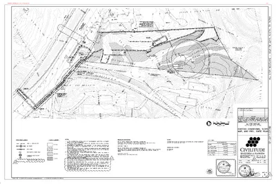
1C 1C 1C 1C N SLOPE 0 - 15% SLOPE 15 - 25% SLOPE 25 - 35% SLOPE 35% + SLOPE TOTAL AREA ENTIRE PROPERTY AREA [SF] AREA [AC] 164,953 97,171 49,084 18,279 329,488 3.79 2.23 1.13 0.42 7.564 1C 01.07.2019 1C 1C ONLY10/28/202508 SP-2017-0478D(XT3) - All Stor Westlake; ETJ5 of 7 Impervious Cover Table Use: Convenience Storage Existing Proposed Removal Proposed Addition Building Parking/Driveway - - 24,700 - - 13,560 Sidewalk & Others - - 132 Total (Area) Gross Site Area Total (Percent) - - 38,392 329,499 SF 7.564 Acre 0.00% 0.00% 11.65% 1C 1C APPENDIX Q-1: NET SITE AREA Net Site Area is Only Applicable To Watersheds Classified As Barton Springs Contributing Zone Gross Site Area (GSA) Site Deductions Critical Water Quality Zone (CWQZ) Water Quality Transition Zone (WQTZ) Wastewater Irrigation Areas Upland Area (Gross Site Minus Total Deduction) Deduction Subtotal 7.564 Acres 0.000 0.000 0.055 0.055 7.509 Acres Acres Acres Acres Acres Net Site Area Calculation Area of Upland with Slope 0 - 15% Area of Upland with Slope 15 - 25% Area of Upland with Slope 25 - 35% Area of Upland with Slope Over 35% 3.735 2.230 1.130 X 100 % = X 40 % = X 20 % = 0.420 X 0 % = Net Site Area Total 3.735 0.892 0.226 0.000 Acres Acres Acres Acres 4.853 Acres N 1C 01.07.2019 1C 1C ONLY10/28/202508 SP-2017-0478D(XT3) - All Stor Westlake; ETJ6 of 7 221C231C ONLY10/28/202508 SP-2017-0478D(XT3) - All Stor Westlake; ETJ7 of 7