ZAP Q & A Report — original pdf
Backup

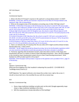
ZAP Q & A Report B1 Commissioner Aguirre: 1. What is the Akins HS Principal’s response to the applicant’s correspondence dated 5-13-2020? RESPONSE: At this time, Staff has not received a response from the Akins HS Principal related to the Applicant's May 13th correspondence. 2. What are the assigned zones of the immediate surrounding areas of other AISD high schools? RESPONSE: At McCallum HS located at 1301 W Koenig Lane, the school is zoned SF-3-NP and occupies its own block, but is adjacent to GR-MU-CO-NP to the north; P-NP (a City water plant), MF-3-NP, SF-6-NP and SF-3-NP to the east, SF-3-NP to the south, and MF-6-CO-NP and CS-MU-CO-NP to the west. At Bowie High School located at 4013 W Slaughter Lane, the school is zoned I-RR and adjacent to GR- MU-CO to the north; I-RR zoned property to the east (a church), SF-2 and SF-2-CO zoned property to the south, and SF-2 to the west. At Crockett HS located at 5601 Menchaca Rd, the school is zoned SF-3-NP and is surrounded by GR-V- NP, GR-NP, LO-V-NP and LO-NP to the north, PUD-NP (condominiums) to the east, P-NP (a City park) to the south, and SF-2-NP and GR-NP to the west. At LBJ HS located at 7309 Lazy Creek Drive, there is SF-3 and I-SF-4A to the north, SF-3 and SF-2 to the east, SF-3, SF-2-CO and GR-MU to the south, and SF-3 to the west. 3. There is an indication (Pg. 29 in backup) that the area where 60 ft. height would be allowed includes the flood plain area. Is that correct? RESPONSE: The 60' height limit would be allowed by zoning, but not by the floodplain regulations which are more restrictive and therefore would take precedence at the time a site plan is submitted. 4. Previously, regarding other development projects, there have been concerns on the impact new development will have as it relates to adverse impact (flooding) downstream. How is the WPD engaged in the cumulative impact development projects have on Onion Creek flooding downstream? What feedback has WPD provided specific to this project? RESPONSE: WPD Floodplain staff provided a response to this question and is provided in Part 1, page 25 of the backup. B-2 Question: Commissioner King What was the mapping error that resulted in rehearing this case (B-02 - C14-2020-0015 - TechRidge Hotel; District 1)? Staff Response: The original notification only showed the southern tract, right at the corner. It should’ve shown both tracts. We renotified the case with the corrected map. B10 Question: Commissioner King 1. Does a large multistory building currently exist on this site? (Google apparently maps shows a large multistory building on this site.) 2. Will this resubdivision include demolition of this building? 3. How will existing tenants in the building be impacted by this resubdivision? Response: Yes, there is an existing building on this property and it will remain in place within Lot 1B of the new subdivision.