20220601-003c: 8020 Parmer Ln C8J-2021-0141.0A staff presentation — original pdf
Backup
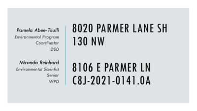
Pamela Abee-Taulli Environmental Program Coordinator DSD Miranda Reinhard Environmental Scientist Senior WPD 8020 PARMER LANE SH 130 NW 8106 E PARMER LN C8J-2021-0141.0A PROJECT LOCATION 2 PROPERTY DATA • Gilleland Creek & Harris Branch Creek Watersheds • Suburban Classification • Desired Development Zone • Extraterritorial Jurisdiction (Travis County) • Council District: NA 3 PROPERTY DATA • Environmental features: • Critical Water Quality Zone • Wetlands • Wetland Setback • Floodplain 4 SITE CONSTRAINT • Environmental features: • Critical Water Quality Zone • Wetlands • Wetland Setback • Floodplain • The only allowable site access is from Parmer Ln. • A driveway at this location must cross the CWQZ, wetlands, and floodplain in order to access the site. 5 CWQZ Wetlands Wetland Setback Floodplain Access VARIANCE REQUESTS §30-5-342 FILL REQUIREMENTS. Fill on a tract of land may not exceed four feet of depth. 1. The variance request is to vary from LDC 30-5-342 to allow fill over 4 feet to 15 feet. § 30-5-261 (G) – CRITICAL WATER QUALITY ZONE DEVELOPMENT. (G) Floodplain modifications prohibited in the CWQZ unless one of the exemptions is met. 2. The variance request is to allow floodplain modification for development within the CWQZ. 6 VARIANCE REQUEST 1 §30-5-342 Fill over 4 feet to 15 feet. • Access from SH 130 is prohibited by TXDOT. • Access from Parmer Ln. requires a bridge to cross CWQZ, wetlands, & floodplain The fill is the minimum necessary to build the bridge high enough for safe access over the 100-yr. flood elevation. 7 SH 130 Access PROPOSED BRIDGE 100-YR FLOOD ELEVATION EXISTING GRADE FILL 4’-8’ FILL > 8’ VARIANCE REQUEST 2 § 30-5-261(G) • Floodplain modifications are prohibited in the CWQZ Bridge VARIANCE REQUEST 2 § 30-5-261(G) • Floodplain modifications are prohibited in the CWQZ 10 VARIANCE REQUEST 2 Functional Assessment of Floodplain Health (ECM Appendix X): • Floodplain is in “Fair” condition • Excellent Good Fair Poor 11 VARIANCE REQUEST 2 Floodplain Restoration/Mitigation • Not enough area to restore on-site due to highly constrained site • Mitigation fee 12 VARIANCE REQUEST 2 Floodplain Modification ECM 1.7.6 Mitigation Ratios Total Modification Area: 2.69 Acres • • Zone 1 (Floodplain outside the CWQZ) 0.192 acres (Mitigated) • Zone 2 (Floodplain within the CWQZ) • 0.064 acres • Fair 3:1 • • 2.626 acres • Fair 6:1 • 15.756 acres (Mitigated) • Total Mitigation Area: 15.948 Acres 13 VARIANCE REQUEST 2 • Additional wetland restoration • Pond outfalls • Bridge piers 14 VARIANCE RECOMMENDATION code requirements. • The variance • Similar variances have been granted for projects with similar • • • Is necessitated by topographic features, not design choice; Is the minimum deviation from the code; and Is unlikely to result in harmful environmental consequences. • Water quality will be equal to or better than water quality without the variance. 15 Staff recommends the variances, with the following conditions. 1. The applicant will pay into the Riparian Zone Mitigation Fund using the appropriate 2. Development of the site will be carried out as described in Exhibits 1-6, stipulating VARIANCE CONDITIONS ratios per ECM 1.7.6. Preliminary bridge plans the work agreed to in the variances: 1. Cut/fill 2. 3. Wetland mitigation 4. 5. 6. Floodplain modification Preliminary pond plans Riparian Zone Mitigation Fund Q7 Form 16 THANK YOU Questions?